
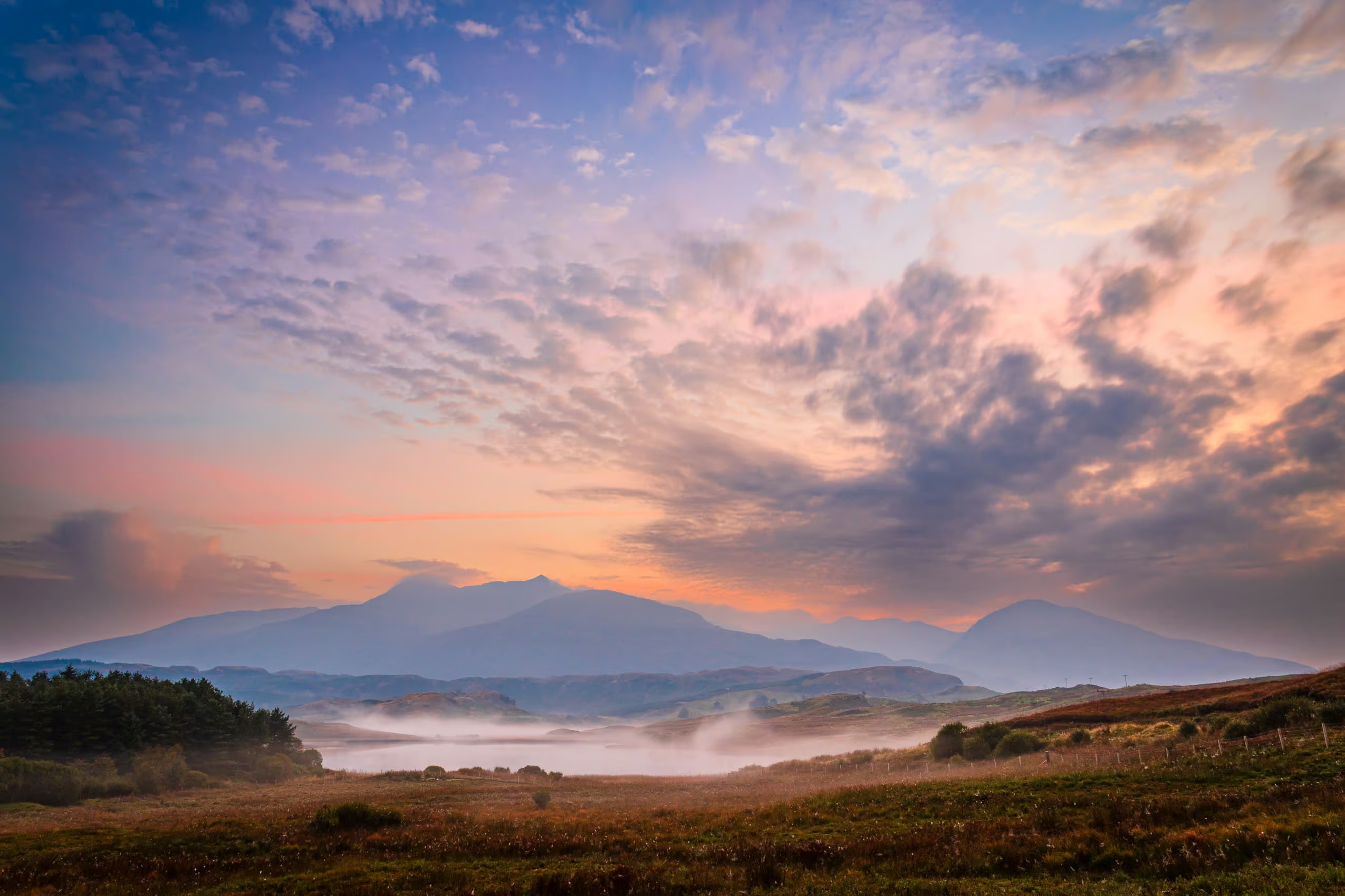
I paid a September trip to the Loch Awe and Cruachan area in Argyll and Bute, Scotland. I stayed in the village of Kilchrenan on the western shore of Loch Awe. Although entering early autumn it was warm and young swallows were poking their heads out of a nest over the doorway of my rented cottage! Nearby is the small and reedy Loch Tromlee from which there are stunning views of Ben Cruachan. I was lucky enough on that occasion to catch a misty September dawn.
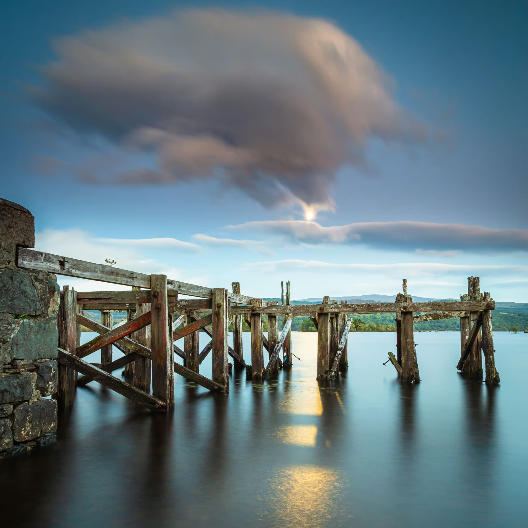
Loch Awe and an Old Pier by Moonlight
Loch Awe is the third-largest freshwater loch in Scotland with a surface area of 38.5 square kilometres (approx 15 sq mi). It is the longest freshwater loch in Scotland, measuring 41 kilometres (25 mi) from end to end with an average width of one kilometre (just over half a mile). The loch runs approximately south-west to north-east, roughly parallel to the two sea lochs of Loch Etive and Loch Fyne.
My first foray on arrival was to Ardanaiseig, on the headland that pokes into Loch Awe before it branches off toward the Pass of Brander to Taynuilt at the south end of Loch Etive. Here there is a magnificent ruined wooden pier dating from the days when there was a regular steamer service on the Loch.
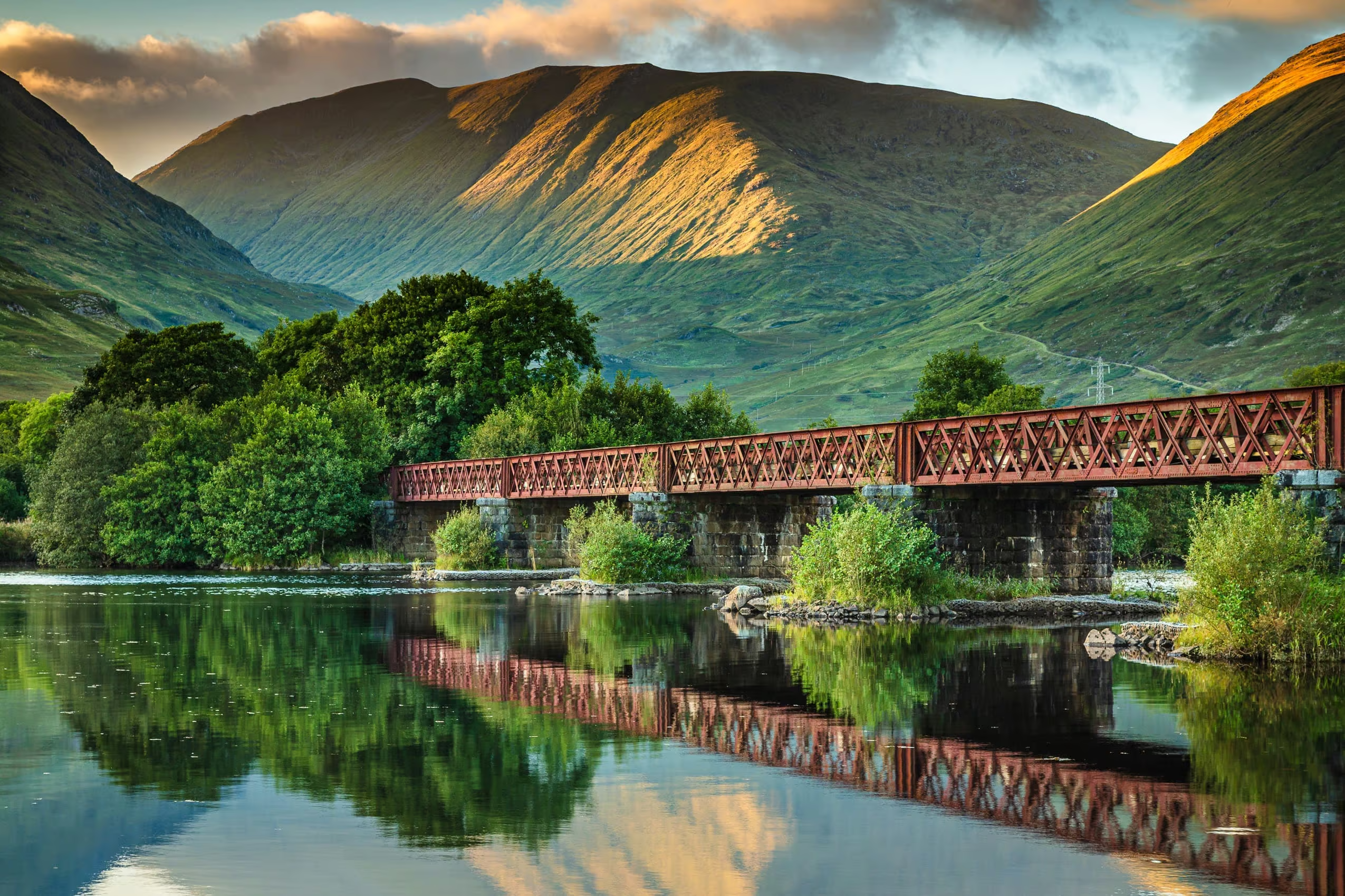
The Oban Line and Kilchurn Castle
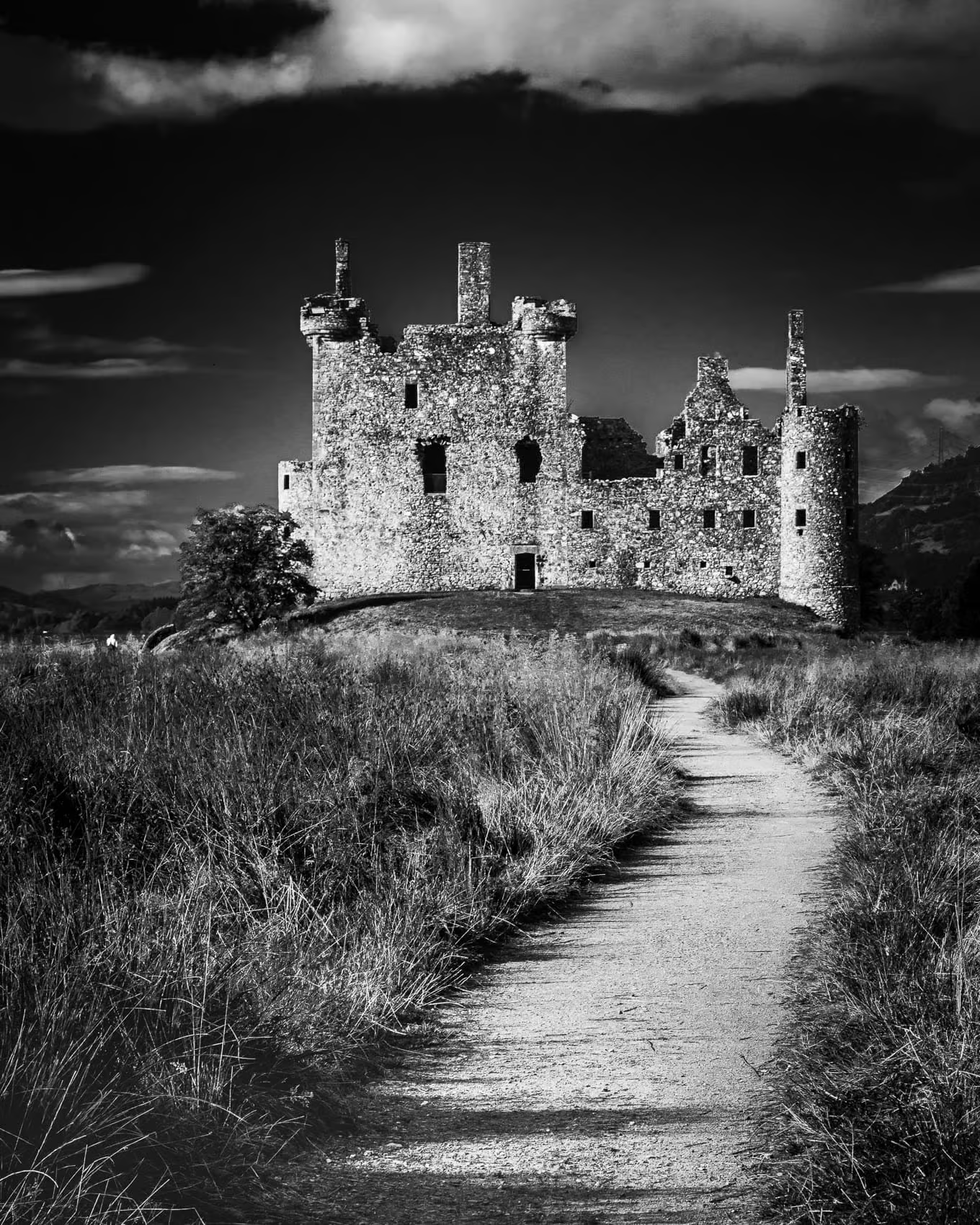
Via the River Awe and Loch Etive Loch Awe drains westward from its northern end. The railway line from Crianlarich to Oban runs along the top of Loch Awe and into the narrow defile of the Pass of Brander, passing as it does so one of the most recognisable castles in Scotland, Kilchurn.
Loch Awe Shoreline
The area surrounding the long and sinuous Loch Awe contains much of scenic and historical interest. Unlike most Scottish lochs, access to the shoreline can be quite tricky, much of the banks being held in private hands.
My usual method of exploring a body of water photographically is to find promising features on a large-scale map, such as jetties, piers, headlands or raised points with prominent landscape features in view. Sometimes access to these is obvious, at other times a little less so. I did manage a daring dawn raid on the east bank of the loch one early morning!
The Firth of Lorn
Not far west from my base on that occasion is the bottom section of Loch Etive and the Firth of Lorn which it meets at a junction with Loch Linnhe and the Sound of Mull. There are attractive views westward over the island of Lismore to Mull and Morvern.
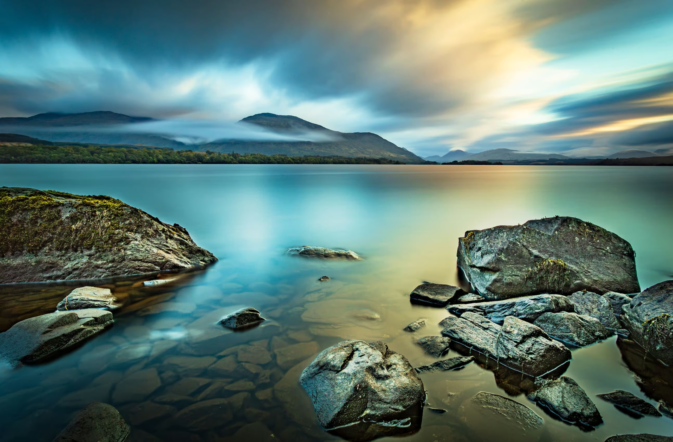
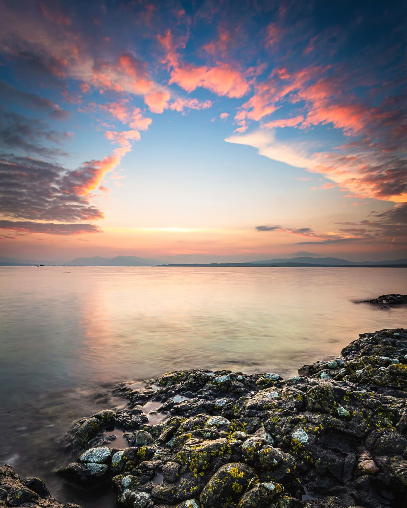
The Ben Cruachan Horseshoe
Between Loch Awe and the southern end of Loch Etive is Ben Cruachan which rises to 1,126 metres (3,694 ft), the high point of a ring of mountains, known as the Cruachan Horseshoe, and the highest peak in Argyll and Bute. The Cruachan ridge surrounds a reservoir created by the Cruachan Dam, a pumped-storage hydroelectric power station located in a cavern inside the mountain. The horseshoe includes a further Munro (Stob Daimh) and several subsidiary summits including Stob Garbh at the eastern end of the ridge.
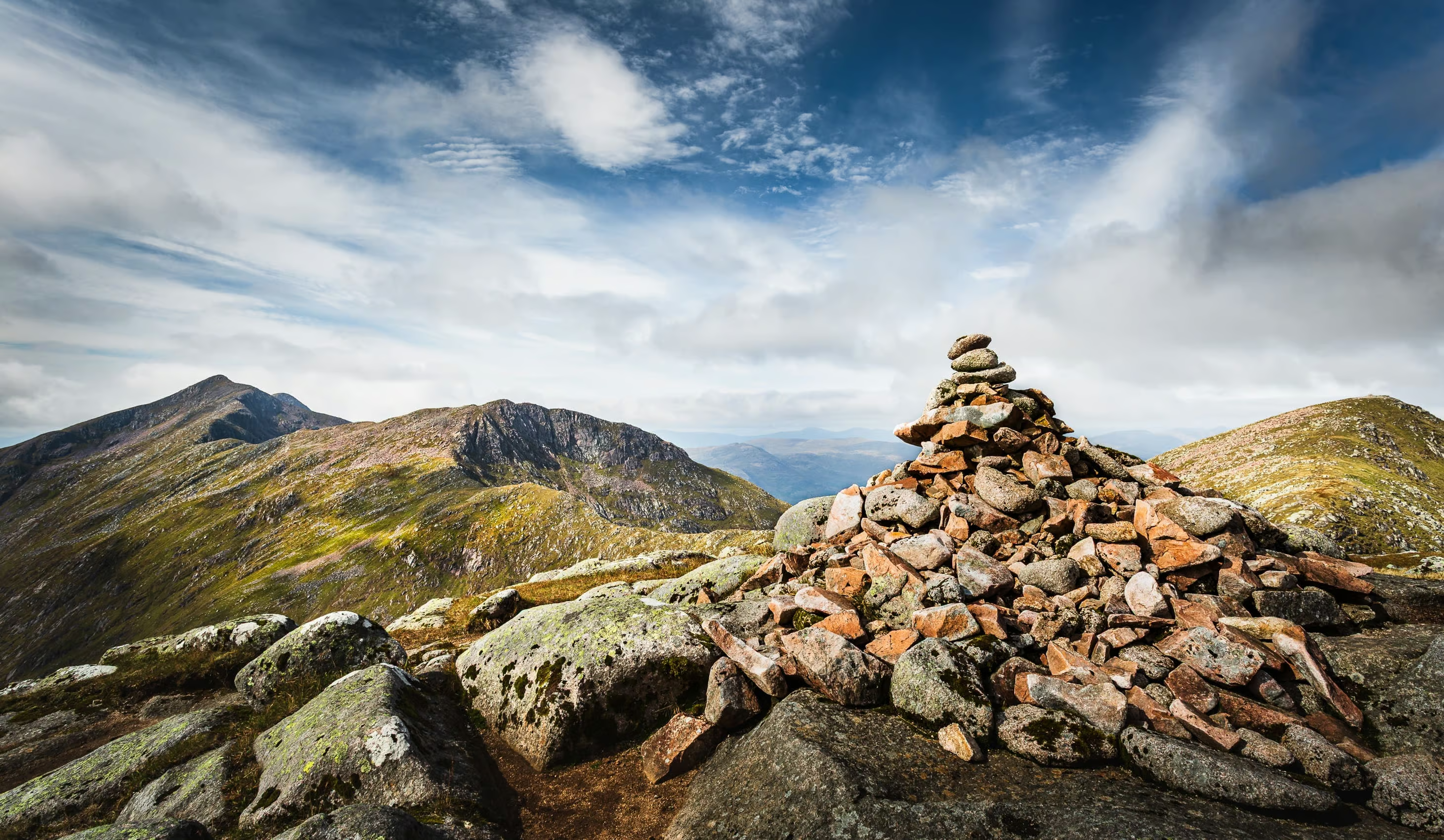
See more images from this trip in the Loch Awe and Cruachan gallery.